This page provides links to a number of maps of Shellman and environs. These maps are created using Tableau; viewers not familiar with Tableau maps should read Helpful Hints below.
By the late 1830’s, landowners began to assemble individual land lots into larger holdings of 1,000+ acres. For a map of major land holdings around Ward’s Station when the railroad came in 1859, click here.
For a map of the buildings (houses and commercial buildings) in the newly incorporated town of Shellman circa 1885, click here.
For a map of all known historic buildings in Shellman (i. e., those constructed by 1950), click here. For a map with a timeline of historic buildings, click here. The timeline has a slider that allows the viewer to select a year (from 1835-1950) to see buildings constructed up to that year. Advancing the slider year-by-year gives a sense of how Shellman progressed from a wilderness to a small town with the trappings of civilization.
Helpful Hints
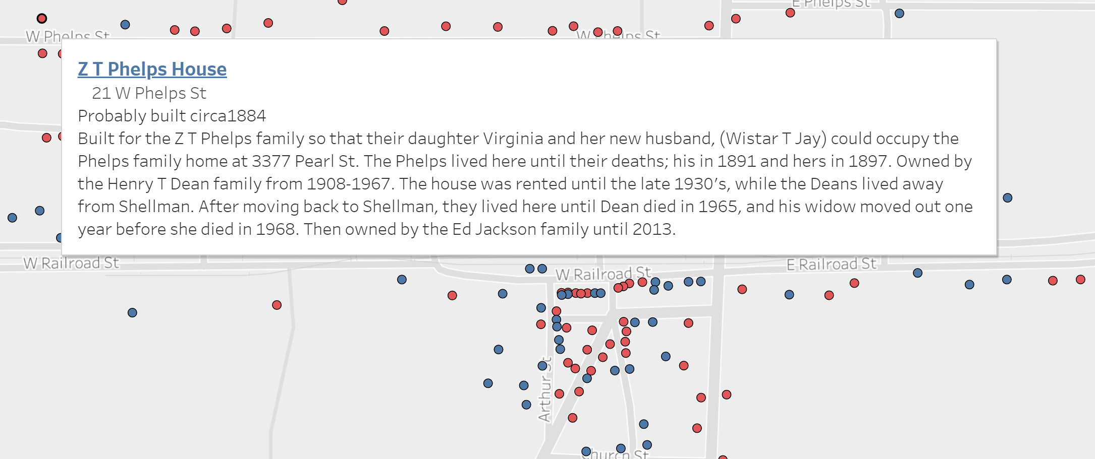
The maps are interactive; moving the cursor over a mark will open a window with information about the mark, as shown below.
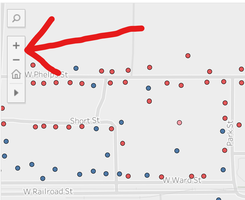
The top left corner of the map has zoom controls; use them to zoom in or out. Click the house to re-center the map, as shown below.